AI-Powered Mineral Exploration.
43 minerals detected from orbit. From satellite data to staked claims.
BY THE NUMBERS
Key metrics that highlight the power of Gravion's AI-driven approach.
43
minerals detectable from orbit
4
independent AI engines (spectral, structural, alteration, anomaly)
$300-800
per target vs. $50,000-500,000 traditional exploration
10+
active exploration targets in Wyoming
Lithium model calibrated against known US deposits
HOW IT WORKS
From orbit to extraction: our streamlined exploration process.
Step 1
Satellite Acquisition
Multi-spectral data ingested across target region
Step 2
AI Analysis
4 engines analyze spectral, structural, alteration, anomaly signals
Step 3
Target Generation
Convergent signals identify high-priority targets with GPS coordinates
Step 4
Validation & Claims
Field sampling, lab analysis
INTERACTIVE DEMO
Experience Gravion AI in action. No signup required
PRIMARY APPLICATION: MINING
Revolutionizing mineral exploration with AI-driven spectral analysis and anomaly detection.
TRACTION
Our technology is gaining momentum and proving its capabilities in real-world scenarios.
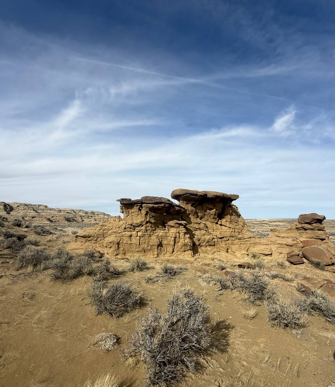
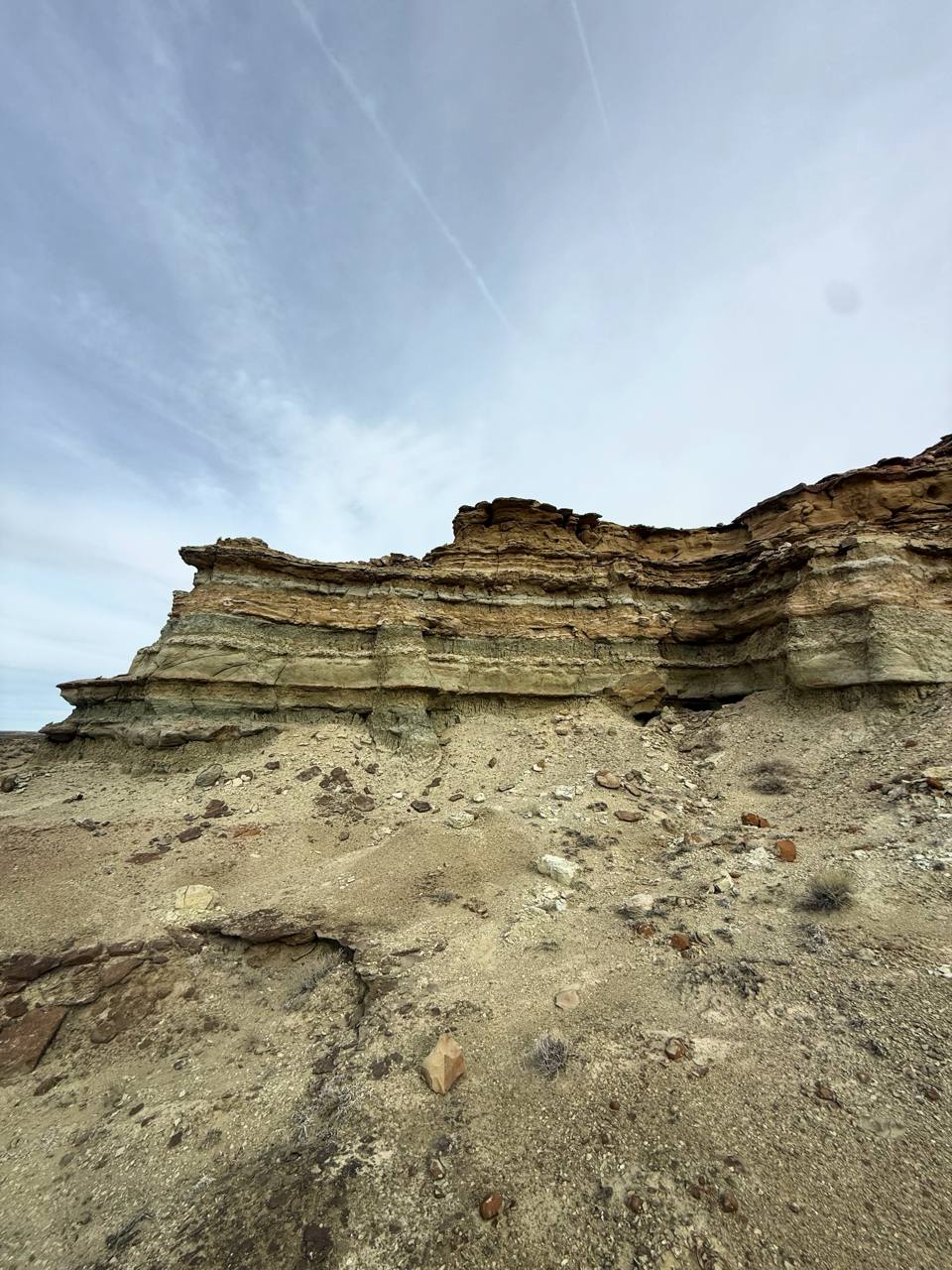
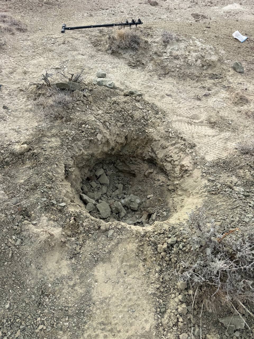
Gravion has completed its first field validation campaign in southern Wyoming. AI-predicted targets were visited, sampled, and assessed. Hydrothermal alteration signatures and geophysical anomalies were confirmed at multiple locations. Multi-element laboratory geochemistry is currently in progress at ALS Geochemistry (Reno, NV). Ground magnetic survey planned for Q2 2026.
AI & COMPUTE ARCHITECTURE
Multi-engine spectral and structural analysis of satellite imagery.
Gravion's core technology utilizes proprietary machine learning models to analyze multi-spectral satellite data. Our system is currently calibrated to detect, identify, and map 43 distinct mineral signatures from orbit, delivering high-precision targets without the need for initial ground crews.
TECHNOLOGY ROADMAP
Our proprietary deep learning models driving discovery.
Spectral Analysis
Convolutional networks trained to identify specific mineral reflectance signatures across hundreds of spectral bands.
Structural Geology
Computer vision models that map faults, fractures, and lineaments to understand trap dynamics and geological context.
Alteration Mapping
Detects subtle hydrothermal alteration zones indicative of mineral deposits using chemical ratios and thermal data.
Anomaly Detection
Unsupervised learning algorithms that flag statistical deviations and unique geological signatures from background noise.
OUR TEAM
Built by operators with deep field and technical experience
UNLOCK GRAVION
Be among the first to access Gravion's groundbreaking technology